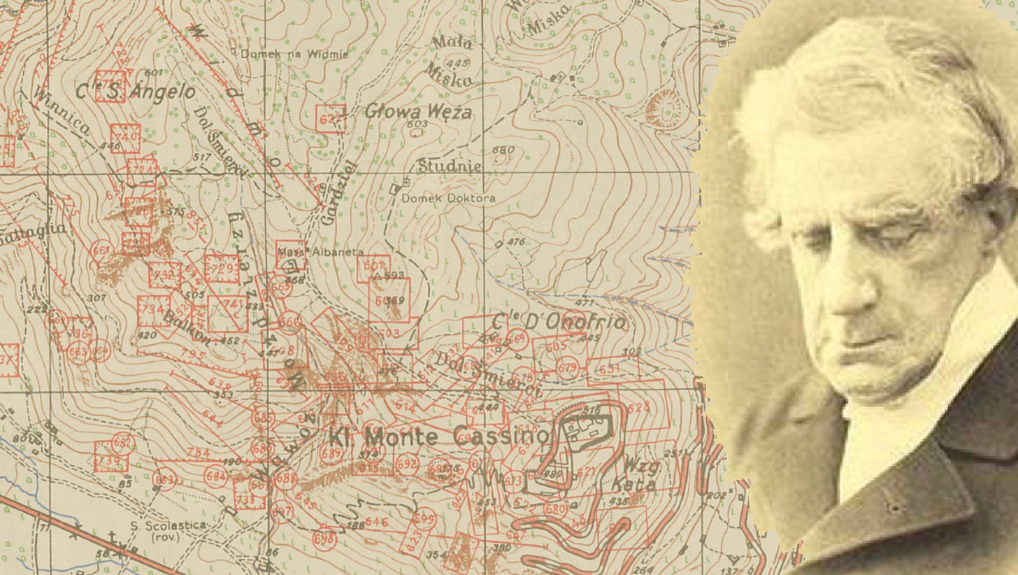
Who knew, Michelangelo caused the inferno at Monte Cassino?
Today, 550 years ago, Michelangelo was born. There's a peculiar link between him and the Abbey at Monte Cassino. It involves maps, of course.
Picture this: it’s 1855, and Michelangelo Caetani – Duke, Dante-nerd, party host extraordinaire – is celebrating the publication of "La materia della Divina Commedia di Dante Alighieri dichiarata in VI tavole."
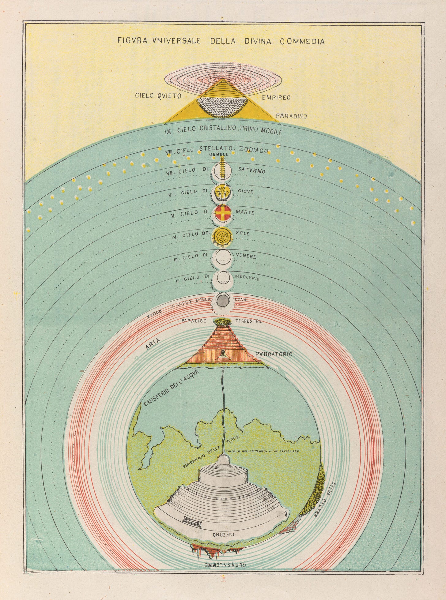
Bit of a mouthful. Particularly as the publication is just six maps and they’re not particularly fancy – Inferno, Purgatorio, Paradiso – basically, a student’s simple cheat sheet to Dante’s Divine Comedy. Here, you get the gist:
Like I said, nothing special.
However, comma, fast forward and ignore the fact we're toasting the 550th birthday of the original Michelangelo today, who was probably no relation. There IS a link between Michelangelo the Younger and some decent mapping.
The first, hand-coloured lithographs of Caetani's maps were so-so. But in a later edition, usually dated to 1872, the Benedictine monks at Monte Cassino got involved. Cornell’s Division of Rare & Manuscript Collections holds both the 1855 and the later, chromolithographic versions of Caetani’s work – the monks didn’t just slap some ink on paper; they used a cutting-edge printing tech for the time, to make Caetani’s maps pop with colour.
The Abbey’s involvement even gets a named credit: 'Cromo-Litografi Cassinese,' linking it indisputably with Monte Cassino’s printing operations.
In short, the monks at Monte Cassino had been known for their scriptorium chops pretty much since medieval times, and Caetani handed off the grunt work. By the 19th century, the Abbey had a reputation for printing books – think illuminated manuscripts meet industrial-age tech – chromolithography, which surfaced in Italy around the mid-1800s, was perfect for detailed jobs.
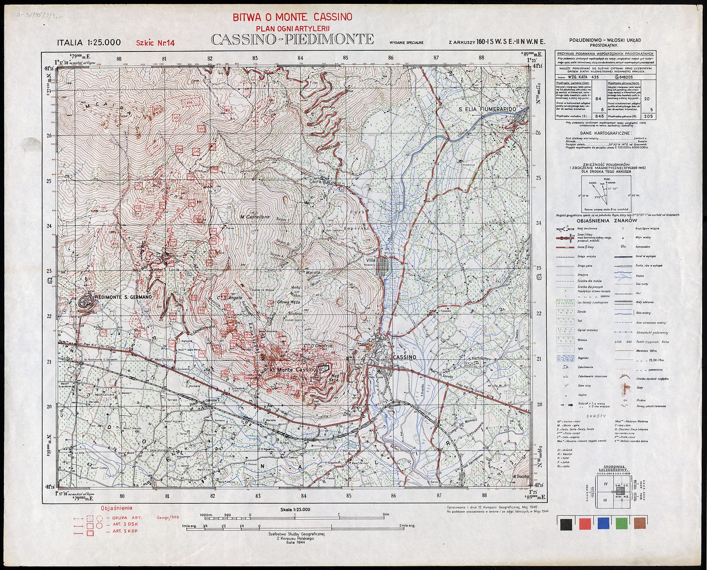
Of course, the actual records of the work were lost in the redesign, in 1944. But still, maps huh. You’ll be wanting a map of Monte Cassino now. Blimey, can’t please some people. Voila:
As a Polish Artillery fire plan, this was produced in May of 1945, using studies in the field and from aerial photos taken at the time. Based on British GSGS work of course, but this overprint was made by 12th Geographical Company, II Corps of the Polish Armed Forces. Polish cartographers knew their stuff.
Indeed, after evacuating to Britain , Wojskowy Instytut Geograficzny (WIG) was organised and competent enough to produce 482 sheets of 1:100,000 remote reprints for the Polish resistance, no mean feat and well-documented in both British and Polish military archives. Most of the WIG mapping that circulated in theatre mind (maps of Poland itself), was made from 1919 to 1939, published largely in the 1930s at 1:100,000 in four coloirs, although there was a fair bit of mapping at 1:25,000 too.
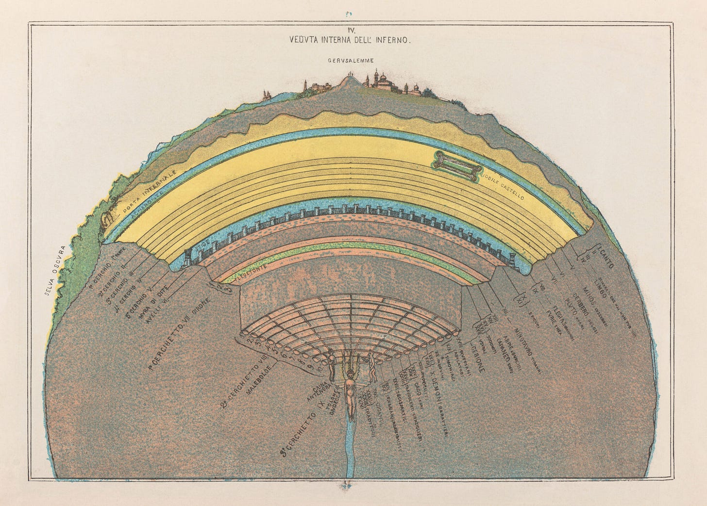
Around 35% of that mapping was complete, with another 20% or so in progress – some of which was then finished by the Germans post-invasion - and now I’m rambling again. Here’s another one of Caetani’s maps.
Happy Birthday, Michelangelo. 🥳


